Lesson 11: (Canadian) Natural Disaster Case Study

Learning Goals

  • Student is able to identify a natural disaster that occurred in Canada
  • Student is able to identify political, economic, social-cultural, environmental impacts of a natural disaster

AgendaImage result for red river flood

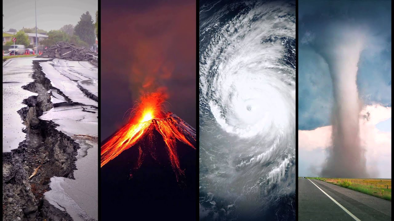
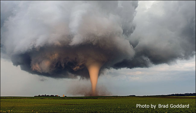
  • Natural Disaster Case study “Flooding in the Red River Drainage Basin” 
    • Instructions:
      • Student will read pages 64-65 (in the Geo text)
      • Answer questions #1 -3
      • Read 69 and answer Ques 1-2 on p. 69
      • Students will complete the Red River Case Study Organizer (hard-copy only) for analysis

Image result for impacts clipart

Lesson 10: Natural Disasters Jigsaw Activity

Learning Goals: 

  •  Student is able to work effectively in a group (sharing responsibility) 
  • Student is able to demonstrate understanding for one specific Natural Disaster
  • Student is able to select and identify key points for a Natural Disaster
  • Student is able to create a visual representation of a Natural DisasterImage result for agenda

Agenda

  • Tsunami Documentary “Wave that Shook the World”
    • Accompanying worksheet
  • Natural Disasters Activity (Jigsaw)
    • See instructions below

Natural Disasters Jigsaw: A deeper more critical look

You will need:

  • Chart paper (1/2 a page)
  • Markers
  • Info sheet + Graphic Organizer

In groups given to you by the teacher:

  1. You will be given an info sheet on 1 Natural Disasterearthquake
  2. With your group, you will read the information and determine the most important points (2-3 points)
  3. You will NOT re-write the information but shorten the info in your own words
  4. On a half of a piece of chart-paper, you will write:The name of the Natural Disaster
    • A drawing of what it looks like (think symbol)
    • Your 2-3 main points about it
  • Please make sure your submission can be read, it has to be posted.
  • Once ALL Disasters have been posted, you will use take notes on each disaster using the provided graphic organizer! 

Image result for natural disaster official symbols

Lesson 9: Intro to Natural Disasters

Learning Goals:Image result for natural disasters

  • Student is able to identify causes and characteristics of natural disasters
  • Student is able to examine how ONE natural disaster is created and its affect
  • Student understand that natural disasters occur due to movements of the earth

Agenda:

  • Activity 1: Can you identify these Natural Disasters?
  • What is a Natural Disaster?
    • Brainstorm
    • Note (Handout)
    • Jello Making for “Structure Building”
      • Drop Test (Earthquake Structures)
  • Activity 2- Natural Disasters Video 1: What’s the Difference? (Note taking)
  • Emergency Kit (Activity) – 1 minute
  • Tsunami Case Study
    • Video clips (Hollywood depiction)
    • Video #4: “The Wave that Shook the World” (Documentary)
      • Video Viewing Worksheet

Activity 1: Can you identify the following natural disasters?

  • What are some common characteristics between these disasters? 

Image result for forest fires

Image result for earthquake

Image result for tornado

Image result for avalanche

Image result for hurricane

Image result for tsunami


Activity 2: What’s the Differences between Natural Disasters?

Instructions: You are to take notes using the following question as a guideline:

“What makes severe weather become a ‘natural disaster?’ 


Emergency Kit (Activity) 

Instructions:

  • You only have ONE MINUTE to gather your emergency kit, to survive a natural disaster
  • What would you put in your emergency kit? 
    • Remember! This kit needs to help you survive a few days and it must be small and light that you can carry around (NO SUITCASE)
    • Fill out the emergency kit provided (use words or images!) 

Tsunami (Case) Study Activity: 

Disclaimer – this is a Hollywood adaptation of real events from a tsunami in 2004

Lesson 8 B: Climate Cheat Sheet Instructions

Instructions:

Image result for Announcement

  • Today and over the next few days you will be creating your cheat sheet for your climate graph analysis assignment.
  • Before class you will take a “Canada’s Climate Region” sheet to complete at home
  • On side 1 is a map of the climate regions
    • The RESOURCE to complete this is posted in Lesson 7 + 8
    • This includes a map of Canada’s climate regions + a picture of our text for your convenience.
    • The other thing for the map is the put the Capital cities and major cities for each province/climate region
      • This will help you immensely for your climate assessment
  • On the 2nd page has the graphic organizer where you will fill in details for each climate region. It is up to you to decide WHAT information to include (no additional pages will be allowed). Critically choosing your information is a skill we develop over time and will practice in this class.

Lesson 7 and 8: Climate Analysis and Assessment

Learning Goals: 

  1. Student is able to construct and draw conclusions about climate regions using graphic information (climate graph)
  2. Student is able to locate and recall the characteristics of climate regions across Canada

Image result for oh canada

Agenda: 

  • Climate Regions
    • Finish note (7 minutes)
  • Climate Graph
    • Construction (worksheet)
    • Practice Sheet
  •  Climate Graph Resources
  • Climate Graph Activity: Making Conclusions (Thursday Feb. 20, 2020)
    • In class Assessment, hard copy only
    • Student will be given an in class evaluation to complete
    • The only material allowed will be your completed “Cheat sheet”


Image result for climate regions of canada grade 9 geography

unnamed

Lesson 6: What about weather and climate?

Learning GoalsImage result for weather and climate

Student is able to…
-decipher the difference between weather and climate
-be able to list and explain the factors that affect weather
-read, understand and create a climate graph


Agenda

  • What is the difference between weather and climate?
  • Video 1: Weather vs. Climate
  • Video 2: Severe Weather
  • Intro to Climate Graphs: details, what they show and conclusions to be made
  • Climate graph practice (see below for copy)
    • Climate graph Video (reminder, if you need it)
    • LOWERN: Factors that Affect climate PPT (copy below)


Copy of Climate Graph Practice:

  • climate-graph-exercise-Toronto-and-Vancouver
  • PPT: LOWERN

How to create a climate graph

Lesson 5: Glaciation

Learning Goals:

  • glacier_largeStudent is able to understand the concepts behind glacier formation
  • Student is able to describe the contribution of glaciers to geography
  • Student is able to describe and understand the history of glaciers

Agenda:

  1. What are glaciers?
  2. Glaciation worksheet: Glaciation Worksheet
  3. PowerPoint: Glaciation and Canada
  4. Videos: All About Glaciers, How do they shape the land?
  5. Glaciation: Before and After Pictures
  6. Activity: Glacier Comparisons

Glacier: a slowly moving mass or river of ice formed by the accumulation and compaction of snow on mountains or near the poles.cc15de4d-3449-4ba6-8e56-feea6be2179c.jpg

Glaciers shape the earth due to a process called EROSION 

Erosion: the movement of the earth’s surface from one location to another

  • Continental Glacier: Spreads itself out using it’s own weight
    • Expand existing rivers and lakes (The Great Lakes)
  • Alpine Glacier: Found in mountainous areaseeaecf3c-318f-4691-88e9-fd7cf36817fb
    • Creates a U-shaped valley with moraine at the base
  • Moraine: a mass of rocks and sediment carried down and deposited by a glacier, typically as ridges at its edges or extremity.

7d17e71b69a0c9f77bb5a8948eea8337993635ff

download (1).jpeg


Video 1: All About Glaciers

Video 2: How do glaciers shape the landscape? Animation

Video 3: Great Lakes Formation


Glaciation: Before and After

WZn8UECe9AV6nlZNfUkj_glaciers8 (1).jpg

Montana, USA: 1930- 2008

3022948-slide-icemelt.jpg

Muir Glacier, Alaska: 1941- 2004

3022948-slide-icemeltalaska7

Toboggan Glacier, Alaska: 1909- 2000

d910ace6e7f803da887884c040c8a915.jpg

03-kilimanjaro.jpg

In Canada…

decker-glacier-at-whistler-blackcomb-in-2006-and-2014.jpg

Decker Glacier, Whistler, B.C.: 2006- 2014


Activity: Glacier Comparisons

thumbs-up-192.pngInstructions:

  1. In your group, given to you by the teacher, you will be given a glacier comparison/description
  2. On a piece of chart paper, you will have to give a VISUAL REPRESENTATION of what this may look like in regards to a GLACIER
  3. You must show and explain the image to the rest of the class

Lesson 4: Our Earth – How was it made!

Learning Goals:

  • Student is able to identify the different layers of the earth
  • Student is able to describe how tectonic plates can shape, change and create land masses

Agenda: 

  • Introduction to Earth Formation & Layers (Powerpoint & handout)
  • Pangea and it’s movement (Picture/Map Analysis)
  • Guiding/Discussion Questions:
    • What is it?
    • How does it move?
    • What happens when they move?
  • Intro Video to Tectonic Plates
  • The Formation of the Earth (Pangea + Plate Tectonics)

Comparison 1: Pangea
Image result for pangea


Comparison 2:

Image result for after pangea


Video 1: Introduction to Tectonic Plates


Video 2: Tectonic Plates Explained


Lesson 3: What does our Country look like?

Learning Goals

  1. Student is able to identify Human Geography vs. Physical Geography features as well as ‘what is where, why there and why care” re: videos on Canadian Landscape
  2. Student is able to identify the Types of maps that exist and what they show
  3. Student is able to identify the layers of the Earth, their compositions and physical properties
  4. Student is able to identify the functions of plate tectonics and its impact on shaping the physical landscape especially in Canada (Canadian Rockies for example)

AgendaImage result for canadian landscape

  • Wrap up on Maps and Mapping
    • What is a map + types of Maps (video 1)
    • Types of Maps (Class Note)
  • Recap Human vs. Physical Geography with examples
  • Recap ‘what is where, why there and why care’ concept
  • Activity + Lesson: “What does our Country look like?”
    • View videos on Canadian landscape with T-chart activity
      • Using the graphic organizer, complete the following sections and headings
      • View Videos below using this graphic organizer: landform-regions-of-canada-word
      • Discuss the process of Glaciation (note) and how it shaped Canada    
  • Introduction to the Earth and it’s Layers (diagram and labeling)

Video 1: What is a map?

Use the video to notate: What is a map, elements of a map and types of maps.

Video 2: What does our country look like? (Alberta)

Video 3: (Newfoundland and Labrador)

Video 4: Ontario

Lesson 2C: Map Evaluation Continued

Assignment #1: 

Map of Canada: 

You will receive your first mapping assignment today. This assignment is a BASE MAP of Canada. You will have two in-class periods to work on your map. Please use your time wisely!

Due: Monday February 10th 2020

  • If handed in by Wednesday (The Absolute Deadline), late policy as discussed applies.

Resarch


Resources for the Assignment

  1. Commercial Forests

Commercial Forests are forests that are used for profit. Trees are cut down and made into products that can be sold either within Canada or exported out.


2. Fishing Industries

  • 3 Key Major Locations: West Coast Fishery, Fresh Water Fishery + East Coast Fishery

Top Fishing Hot Spots in Canada

3. Minerals Mapping (Link)

https://www.mapsofworld.com/canada/thematic-maps/canada-minerals-map.html

  • Use the 3 categories ONLY


4. Highlands and Lowlands (Do not map what is NOT asked of you)

A) Physiographic Regions

Image result for lowlands and highlands canada

B) Physical Regions

Image result for lowlands and highlands canada

C) Elevation (to locate the “highlands”)

Image result for Canada elevation